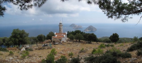
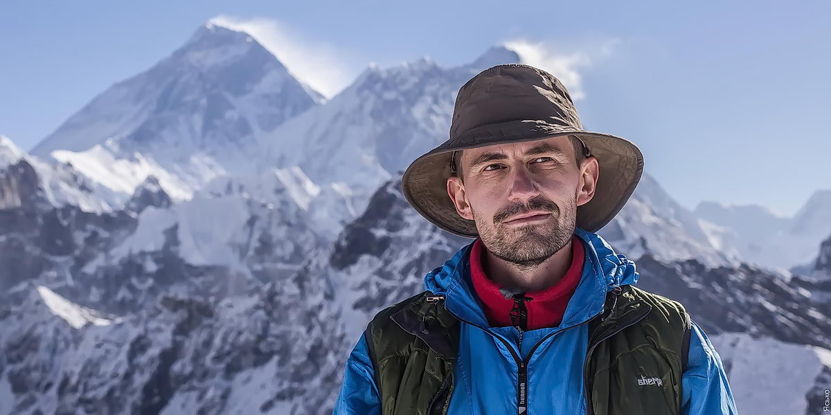
 I have no time to write a detailed report on the recently completed Turkish campaign (along the Lycian path). And I don’t want to be stubbornly silent either, and I want to share photos. Therefore, this time I will make my story in the form of short comments to the pictures – no chronology and completeness, just fragments of the mosaic.Maybe later there will be a video report.
 This is the most remote and wild part of the Goynuk canyon. We are only 2 kilometers from the Harmony Canyon (a well-known place for swimming in helmets, wetsuits and life jackets), but in order to pass them last night we had to write pretzel along mountain paths for 5 hours, constantly feeling the area with flashlight beams in search of markings, flat ground and water. It’s a real problem with a flat place for a camp, this is not Crimea for you with its comfortable flat lawns (I didn’t think I would ever say that).
 Last night we went to these cliffs and spent the night at a shepherd’s hut with a gorgeous view of the Adrasan valley. For half the night a strong wind blew and it was clear that the weather would change. And the truth – the morning met us with calm and hot, hot sun. It’s time to take out the silver umbrella. We rush down to the tomato greenhouses and shop in Adrasan, where the group will be introduced to Turkish yogurt and Iranian peaches for the first time.
 Our ascent from the saddle to the top of Olympus lasted two hours, and all this time the main landscape for us was the Beydag plateau, gracefully decorated with snowfields (it’s like a gingerbread with icing). This bulk is separated from Takhtali by a wide valley, and yet it gives the impression of “overhanging” and as if breathing down the back of the head. It was warm and pleasant to look at the cone of Akdag (3070m, the highest peak of the Beydag plateau) illuminated by the gentle morning sun – from the beginning to the very end of the ascent, we ourselves sat in the deep shadow of the mountain and not only were very cold (+4), but we missed the sunlight.
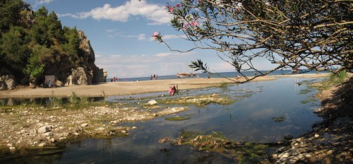 The ruins of the ancient city of Olympos are good for their extremely advantageous location. Near the sea with a good beach, near the river (fresh water for rinsing after the sea), and the ruins themselves (and the people who study them) are hidden from the scorching sun by real jungle. We spent two hours in these paradises, slowly walking along the ancient streets and fantasizing about the themes of ancient life. I didn’t want to go to the beach, but the opportunity to sit in the shady ruins of the Roman baths and chat “for life” came in handy.
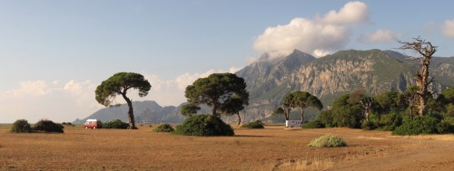 To be honest, the area in the photo looks more like an African savannah than a Mediterranean beach. There would be a couple of giraffes and the composition “Safari in the Serengeti” is ready. Mount MusaDag in the background is certainly not Kilimanjaro, but also not bad. Even when you stand there and look with your eyes (ears have been hearing the sound of the surf for a long time – you can’t deceive them), you don’t immediately notice the sea, since it is a couple of meters below the level of this piece of Africa. Guidebooks say that sea turtles crawl out to lay their eggs on this beach, so you can’t stick umbrellas in the sand, put up tents and shine with lanterns and headlights at night. Our campsite is just 100 meters on the right and we wandered around a little during the night looking for turtles but didn’t find any – it’s still early to see, come back in a month.
 The ascent to Tahtali (2365m) was, in my opinion, the culmination of the mountainous part of the hike. This event strongly resembled a real climbing assault. In order to find the top clear, without clouds, we got up in the dark (at 4 in the morning), when the temperature overboard was as much as -1 degrees. We warmed up a little by the fire, quickly drank tea and, hiding our backpacks, galloped to the top. We knew that there was a cable car station up there, similar to the Crimean one on Ai-Petri, and we expected to indulge in tea there too, but the establishment was still closed. But no one bothered us to enjoy the summit and no one grumbled when we borrowed a table from a cafe to use it instead of a tripod for a group shot.
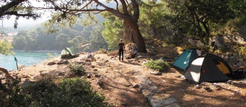 A very soulful place. We came here tired and well-done after overcoming Cape Gelidoniya and found a bay, although a little littered (the local population sometimes goes out for picnics), but with obvious inclinations of heaven on earth. Parking right on the shore, near fresh water, shower, shady pine trees above your head, under your feet the clearest azure sea (this is where we saw the octopus). The next day, halfway to Karaoz, in the same coastal forest, we found a chameleon. Exotic, however.
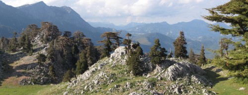 After a rather gloomy forest and an endless climb, we suddenly fall out onto an open slope bathed in sunlight. Huge trees (real biblical cedars), as if coming out of a fairy tale, bizarre rocks corroded by karst channels and unreal silence. I wondered, where are the people, why is no one kneeling here and praying for this beauty?
